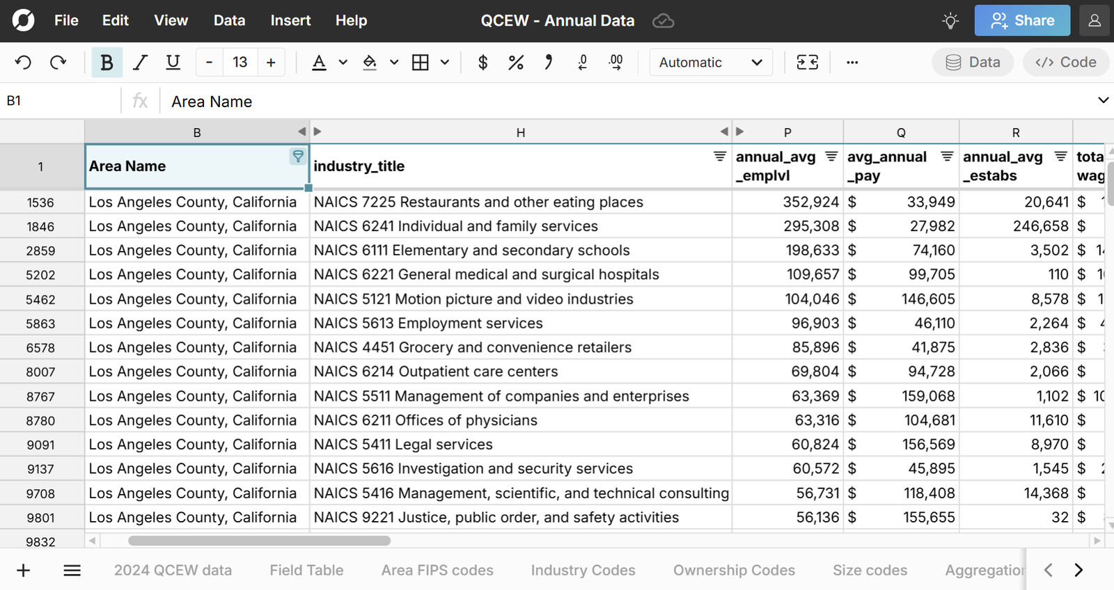
This spreadsheet includes lists of every county and ZIP code in the U.S. along with their state, metro or micro area, and NCHS Urban-Rural Classification. You can use this dataset to classify ZIP codes and counties as rural to urban using the 6 classification codes. The datasets also lets you easily crosswalk data from ZIP code to County, Metro, and State using XLOOKUP. Explore this County and ZIP code spreadsheet for free in Row Zero, a powerful spreadsheet built for big data.
NCHS Urban-Rural Dataset Summary
This dataset includes a list of all U.S. counties with their NCHS urban-rural classification, county FIPS codes, and state. It also maps each county to it's metro or micro area and CBSA code. We've also incorporated zip code to county mappings to classify ZIP codes by urban rural classification from the NCHS county data. The county urban-rural classifications are from the National Center for Health Statistics (NCHS) and ZIP code data is sourced from the U.S. Census Bureau and U.S. Office of Housing and Urban Development.
The spreadsheet includes the following datasets:
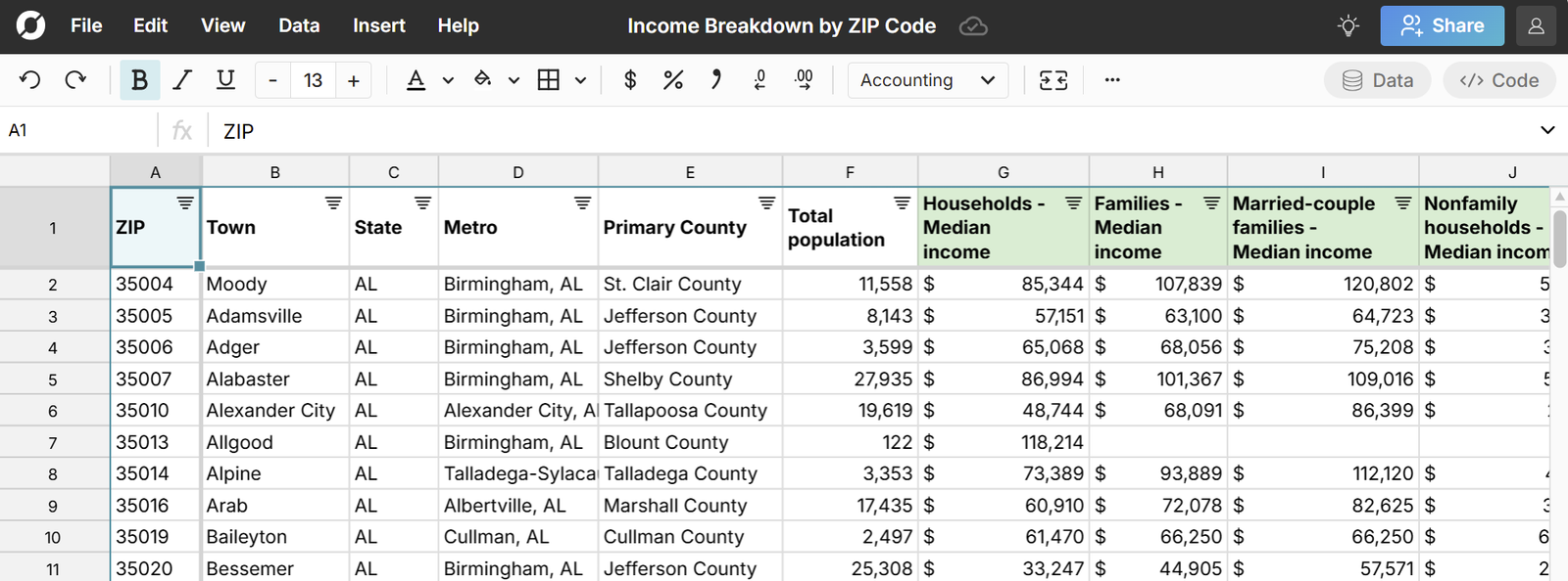
If you want additional details on ZIP codes and counties, view the ZIP Code Demographics and County Demographics datasets.
NCHS Urban-Rural Classification Codes
- Large central metro - Counties in metropolitan areas of 1 million or more where:
- The county contains the entire population of the largest principal city of the metropolitan area, or
- The county is entirely contained in the largest principal city of the metro area, or
- The county contains at least 250,000 residents of any principal city in the metro area
- Large fringe metro - Counties in metropolitan areas of 1 million or more population that do not qualify as large central
- Medium metro - Counties in metropolitan areas of 250,000 to 999,999 population
- Small metro - Counties in metropolitan areas of 50,000 to 249,999 population
- Micropolitan - Micropolitan Counties in micropolitan statistical areas
- Noncore - Noncore Counties that did not qualify as micropolitan
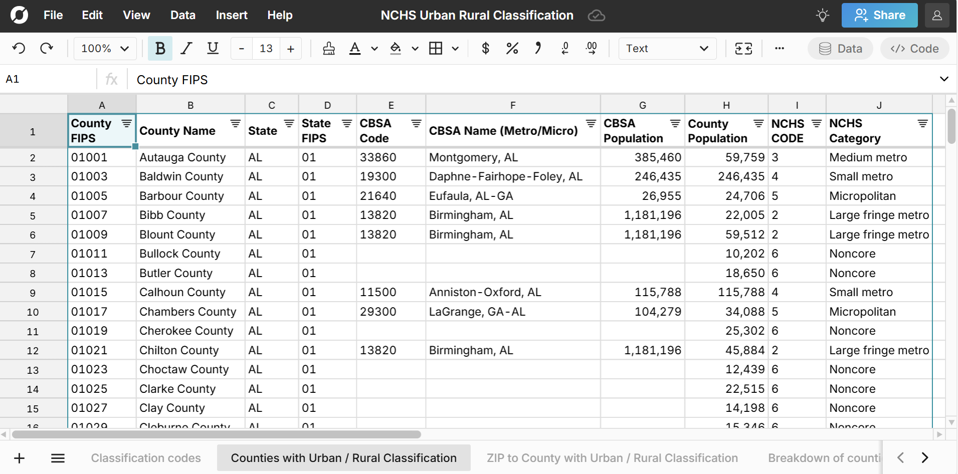
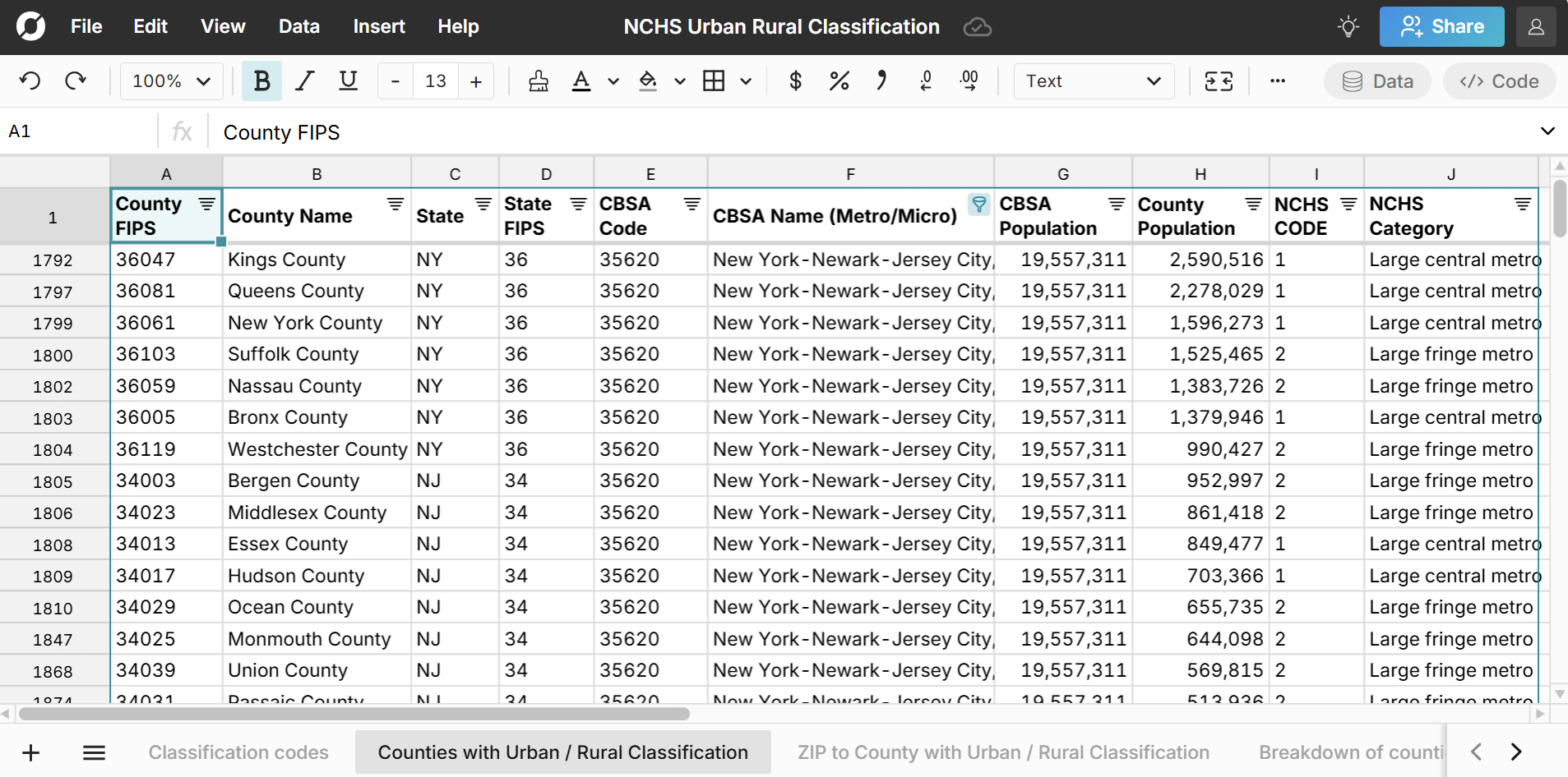
County Urban Rural Classification
The Counties with Urban / Rural Classification sheet provides a comprehensive list of all counties in the U.S. with their state, NCHS classification code, and corresponding metro or micro area.
Breakdown of counties by NCHS code
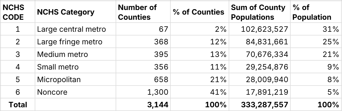
The majority of counties are in non-metro areas, but the majority of the population lives in urban counties in metro areas. While only 2% of counties are classified as "Large central metro", they account for 31% of the population. 56% of the population lives in a large metro, either in the central or outlying county. Conversely, 41% of counties are in no metro or micro area, but they only account for 5% of the population.
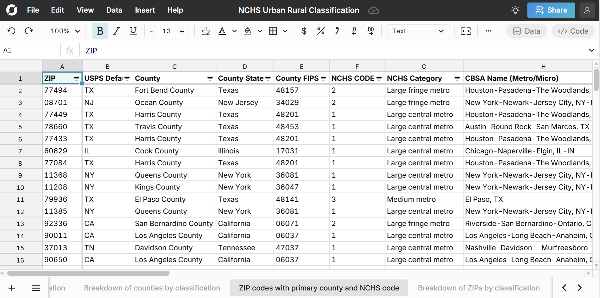
Urban rural classification by ZIP code
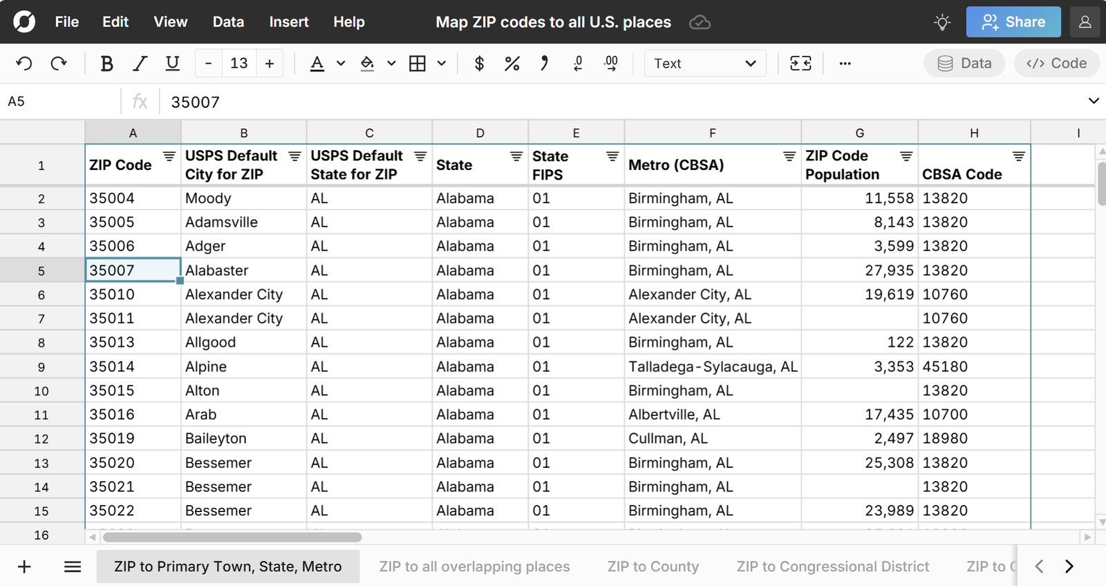
The ZIP to County with Urban / Rural Classification sheet provides a comprehensive list of all ZIP codes in the U.S. with their state, metro area, county, and county NCHS classification code. Since ZIP codes can overlap with multiple counties there is a row for each ZIP to county mapping and columns for number of counties a ZIP code maps to, and the % of ZIP residents in each county.
The ZIP codes with primary county and NCHS code sheet de-duplicates ZIP codes with multiple counties and only includes one row for each ZIP code. The ZIP code is mapped to a primary county that contains the highest percentage of the ZIP code's population. For example, if a ZIP code's population is 60% in County A and 40% in County B, there is just one row and it's mapped to County A.
Each data set includes the relevant geographic codes - ZIP code, County FIPS codes, State FIPS codes, and CBSA codes for metro and micro areas, so you can easily join with other datasets and crosswalk from ZIP to county, metro, and state.
Breakdown of ZIP codes by NCHS code
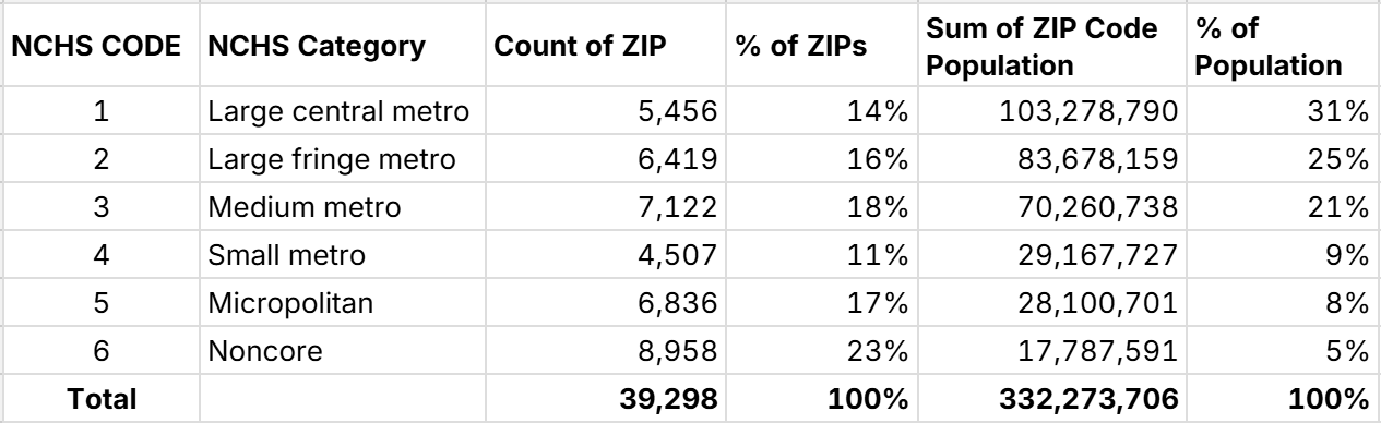
ZIP code counts are fairly evenly spread across urban and rural classifications. However, again, the majority of the population lives in ZIP codes in large metros areas. The most rural zip code classification (Noncore) accounts for the most ZIP codes, but only accounts for 5% of the population.
Highlights from the Dataset
You can easily filter and sort these datasets to find things like the largest counties by state, list of counties by metro, etc. Below we highlight two lesser known lists.
Largest Rural Counties
These are the largest rural counties that are not in a metro or micro area based on population.
- Van Buren County, MI - 75,692 residents
- Aroostook County, ME - 67,255 residents
- Apache County, AZ - 65,432 residents
- Van Zandt County, TX - 62,859 residents
- Granville County, NC - 61,903 residents
- Kenai Peninsula Borough, AK - 60,690 residents
- Oxford County, ME - 59,495 residents
- Sampson County, NC - 59,120 residents
- Hancock County, ME - 56,701 residents
- Polk County, TX - 53,255 residents
Largest Small Town Counties
These are the largest rural counties that are part of a micropolitan area or small town.
- Sussex County, DE - 255,956 residents (Seaford, DE)
- Hawaii County, HI - 206,315 residents (Hilo-Kailua, HI)
- Monroe County, PA - 167,198 residents (East Stroudsburg, PA)
- Merrimack County, NH - 156,020 residents (Concord, NH)
- Schuylkill County, PA - 143,104 (Pottsville, PA)
- Harnett County, NC - 138,832 (Anderson Creek, NC)
- Humboldt County, CA - 135,010 (Eureka-Arcata, CA)
- Chautauqua County, NY - 126,027 (Jamestown-Dunkirk, NY)
- Kennebec County, ME - 125,540 (Augusta-Waterville, ME)
- Allegan County, MI - 121,210 (Holland, MI)
Data Sources
Data sources for this county and ZIP code urban rural dataset include the National Center for Health Statistics, U.S. Census Bureau 5-year estimate tables from the American Community Survey, as well as the U.S. Office of Housing and Urban Development. ZIP code population is included for ZIP Code Tabulated Areas (ZCTAs) which are ZIP codes of populated areas. Data has been updated as of November 2025 with the most recent data available.
Frequently Asked Questions
NCHS Urban-Rural Codes classify U.S. counties from rural to urban across 6 categories - from Noncore (most rural county) to Large Central Metro (most urban county).
NCHS stands for the National Center for Health Statistics.
FIPS codes are unique indetifiers assigned to U.S. locations like towns, counties, and states by the U.S. Census and are used as unique indentifiers to support joining location data across multiple datasets.
There are more than 3,000 counties in the U.S. The specific number can vary depending on whether you include 'county equivalents' and U.S. territories, with numbers ranging from 3,143 counties to 3,244 when including county equivalents and U.S. territories.